Wonderland Trail Snow Outlook 2016
Original Blog post: May 11, 2016
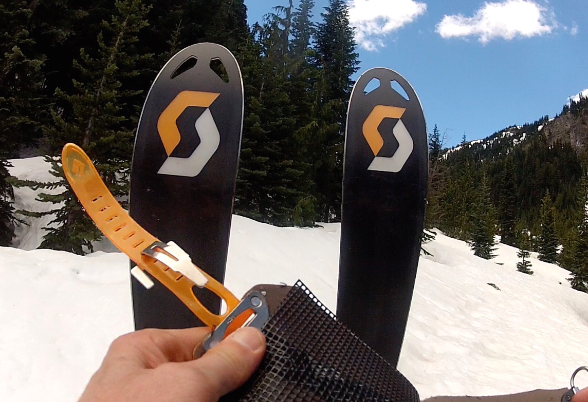
Donning skins above Fryingpan Creek bridge
This is the earliest I've posted a Wonderland Trail conditions report or snow outlook. On May 10, 2016 I biked into the still closed White River entrance to Mt. Rainier National Park and hiked to Summerland and Panhandle Gap. More precisely, I hiked through the forest section but donned skins just above the Fryingpan Creek bridge and skied from just below Panhandle Gap to the bridge, then reversed the process for a 12 hour day. Some of the information I'm writing in this blog post is not science based, I am offering an opinion based on years of experience hiking in the park. However, this is a measured fact from the USDA:
• April experienced record high temperatures throughout the entire Pacific Northwest, causing much of the remaining snowpack to melt and runoff. Over 80 percent of all SNOTEL sites with at least 15 years of data set all new melt rate records for April.
• Temperatures recorded at Seattle-Tacoma International Airport reached 87 degrees Monday (May 2) afternoon, tying the day’s record set in 1945, meteorologist Josh Smith said.
Temperatures have remained high for the first part of this month; when I left for this trip the local forecast was for mid 70's, warming to 80 degrees by Friday (May 13). It is probably safe to surmise that if these seasonally warm temperatures continue in May and June, then the melt off will continue to set records. The upshot of this is that Wonderland Trail snow conditions will be weeks ahead of a "normal" year. Anecdotally I put the levels on May 10, 2016 slightly above June 3, 2014, when I did this same trip that year. 2015 was such an unusually low snow year that comparisons to a year ago would be moot. I have compared video and photos for these two trips to come to this conclusion. Here are a few shots or video screen grabs:

reference snow levels on background hill

Panhandle Gap snow levels
I found the hike through the forest (I hesitate to say trail as most of the trail was buried) had sections where the snow was up to 7 feet deep. This may reflect that this winter's heavy snows dumped heavily at lower elevations and the sun does not penetrate this thick forest; melting relies on ambient temperature. However, I could see the difference in my own tracks just hours later as I descended, losing definition in just half a day's melt.
It's still early to make concrete predictions, but June's forecast looks to be about normal or slightly above concerning temperature. This is from accuweather.com:

June forecast: the bolder lines are forecast highs and lows
As a general outlook the hiker can expect successful Wonderland circumnavigations starting the last half of June; this of course comes with the caveat that one must be prepared for navigation in snow, prepared for camping in snow at the higher elevation camps, and perhaps contend with ongoing trail maintenance issues like blow downs and possible bridge outages. The usual snow areas should see rapid melting out for a more "traditional" hike the latter part of July on. I'll make one more observation concerning trail conditions, and that is this side of the Cascades saw high winds and heavy snow/rain at times this winter. There are many roads that need repair, and reports of blow downs on various trails point to an above average task for trail crews this year. Factor in shrinking budgets and the "manicured trail" expectations for the Wonderland may fall short. In my hike there were still a bunch of blow downs that needed to be cleared from the road, and the forest trail area saw a fair amount of downed trees.
Stats for BHS (bike/hike/ski): 8 miles bike/9 miles hike/3 miles skin-ski, 3500' elevation gain

Summerland shelter on May 10, 2016