The Castle (6440')
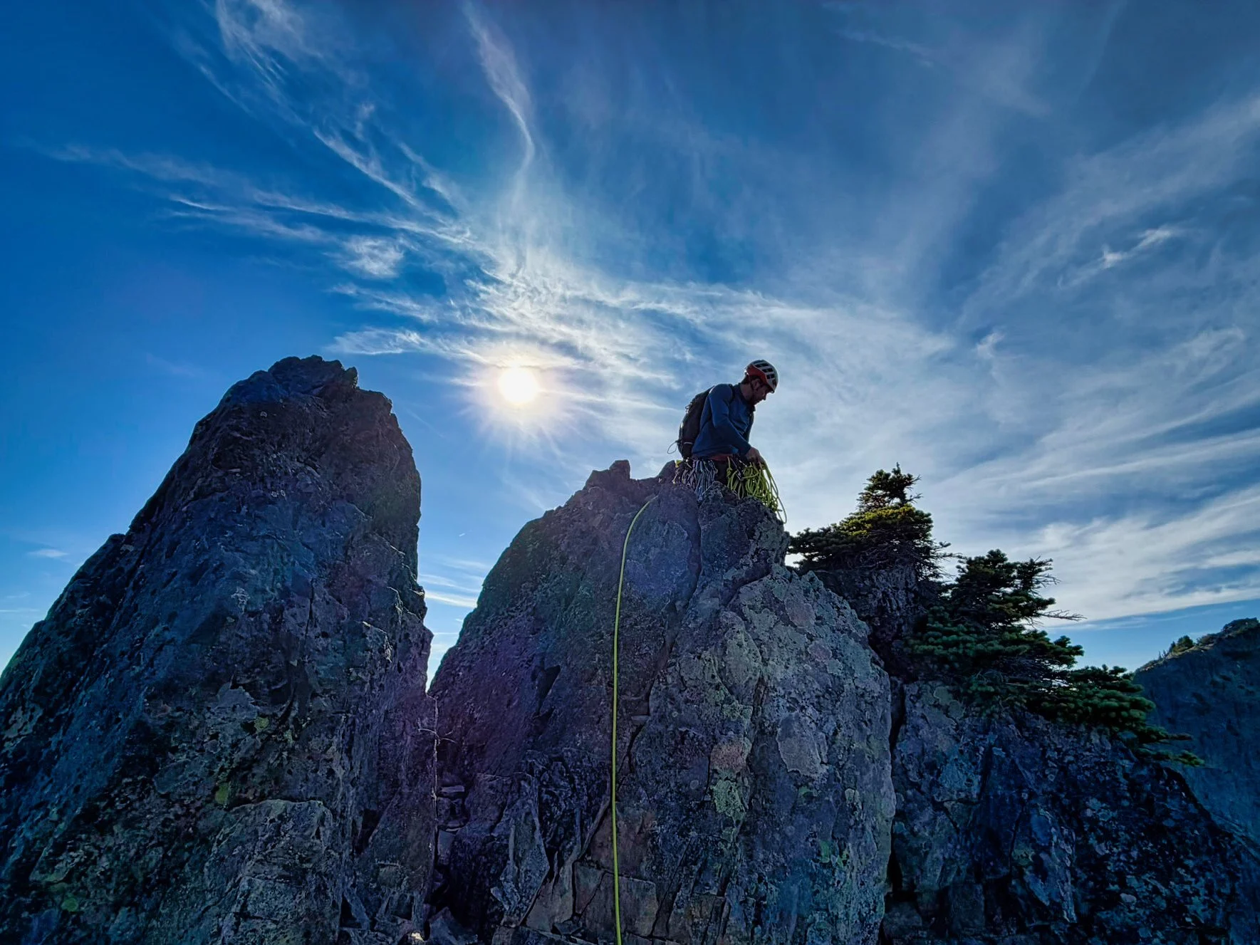
Peter and I met at the Pinnacle Peak trailhead the morning of October 16, 2026 to climb The Castle. After some coffee in the parking lot, we set off on a very short approach (1.5 miles) to the base of the Castle, heading for the saddle to the left of the peak. Most of the time we were on a well established climbers trail. Once at the base, we surveyed how to get up. The description says the usual route is class 4/low class 5. I know plenty of people have just free climbed this peak. This would have been appropriate for someone my age with only one prior trad climb (with Peter on Unicorn a few years ago). However, Peter had his own ideas. He chose a route and finished it without difficulty, probably mid class 5. Once it was my turn to climb, I felt good most of the way, slowly figuring out moves. However, near the top, there was a sticking point. I was just maybe 8 feet below Peter but had a hell of a time finding anything to get me a few feet up to some good holds, about 2 feet out of my reach. I diddled around there for quite some time, and my grip was getting maxed out. I finally got in a position to go for a hold, and I knew it was my last chance as my whole body was worked. Somehow I managed to finally span that 2 feet and finished up.
Peter had climbed over to the top of the dihedral to see if it was higher then our assumed summit (it was not) and after I reached his position he said I should go over there to check it out. My first response was f*#k no, why would I do that? But he assured me in that that I'd be on belay and it was just a class 3 scramble. I knew I'd probably never stand atop this peak again, so I heeded his prompting and made my way around the summit block we were on. This was a traverse and he was no longer in sight, and apparently out of ear shot when I said "Hey, give me some slack, I'm gonna cross over this bridge to the dihedral." I waited a few seconds and made the leapy move, only for the rope to stop me midway with a jerk. From around the corner I heard, "Did you want some slack?" One could only laugh, and I doubt it would have helped anyway because the rope was strung up and over the small buttress between us. The views were cool though and I'm glad I did it. I didn't take many photos on the summit area because I was always holding on to something.
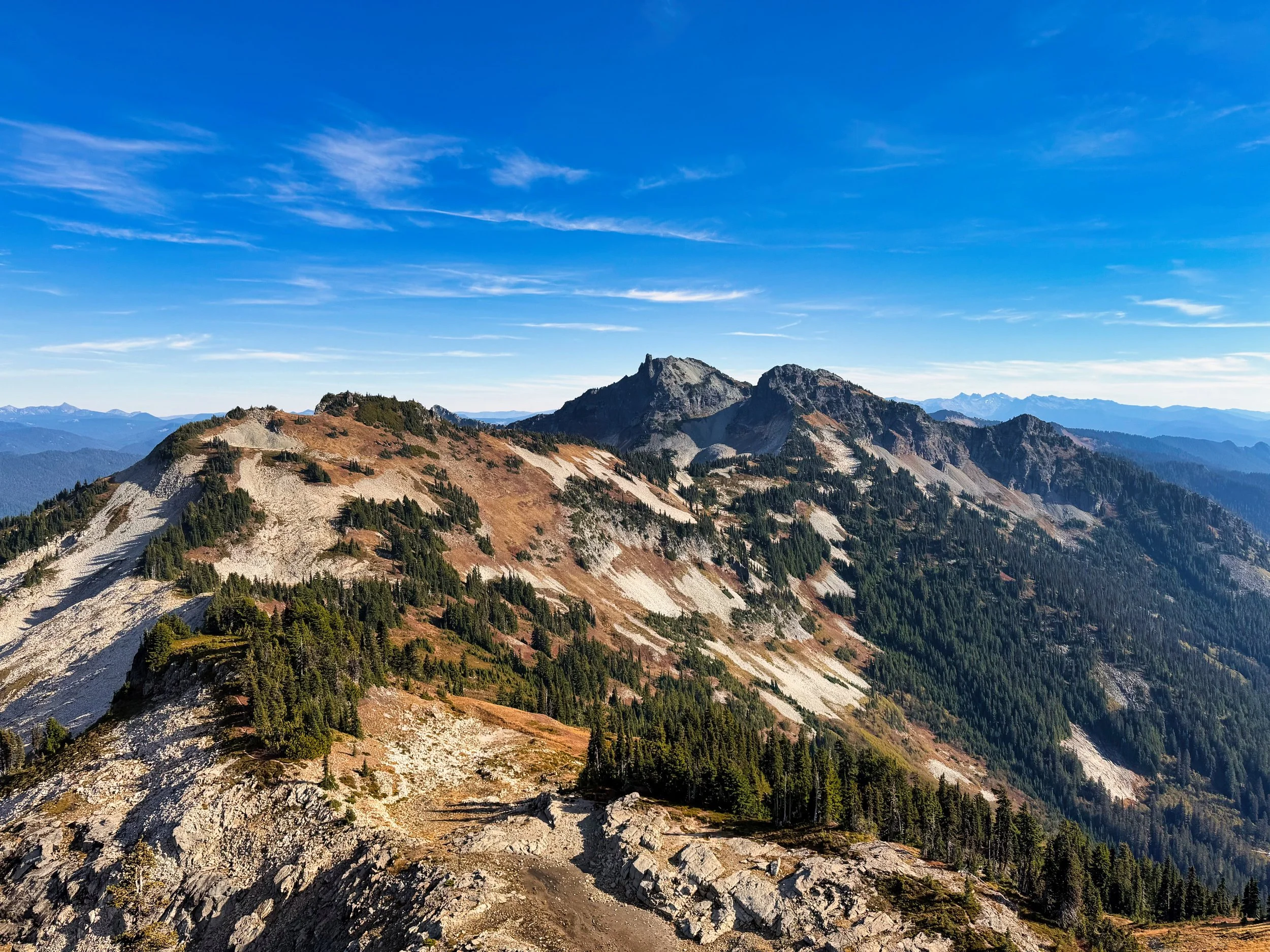
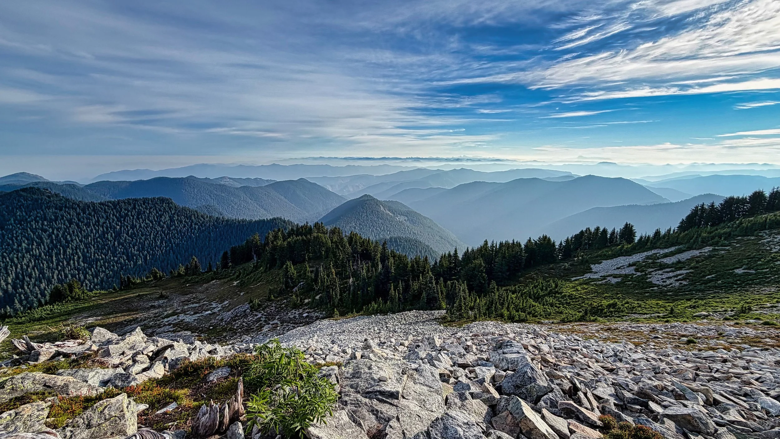
Foss, Unicorn and Boundary from the summit of The Castle
Afterwards I made my way past him to the usual route, which had a sturdy rappel setup already. I elected to be lowered versus rappelling as it’s been over 30 years since I’ve done that. I clumsily made my way to the bottom through no fault with his lowering, and from there we returned via the Pinnacle Peak trail for a loop.
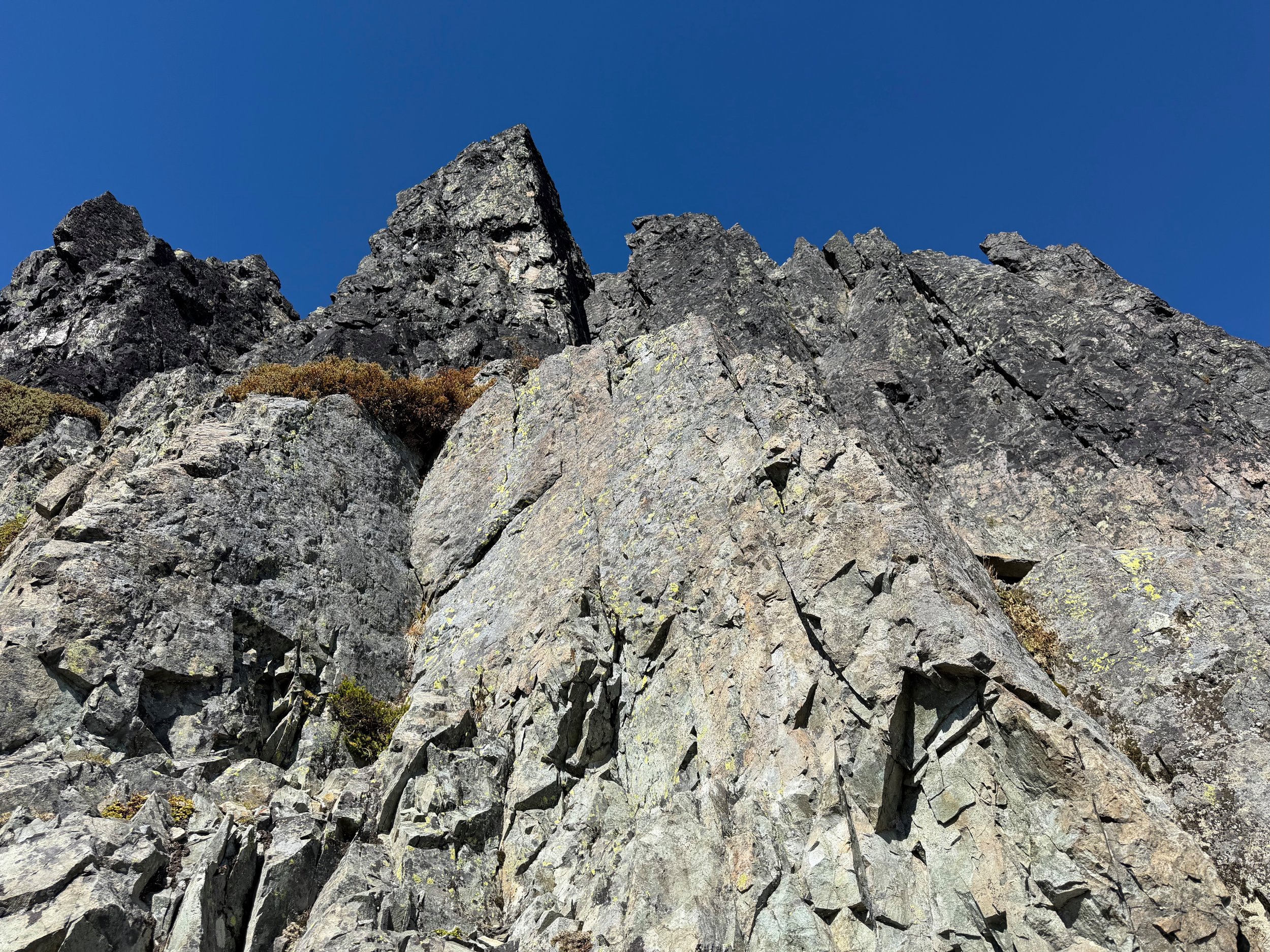
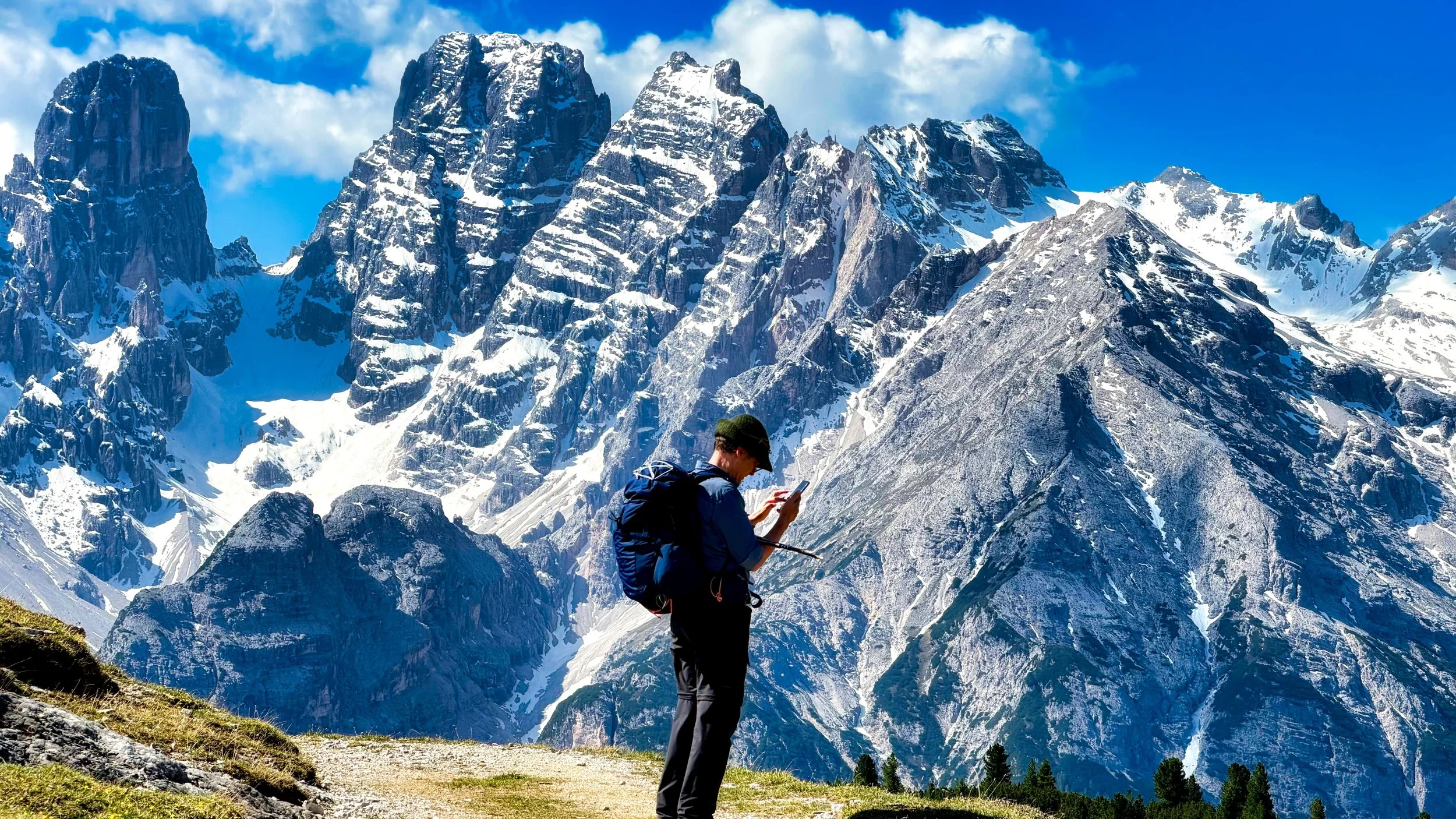
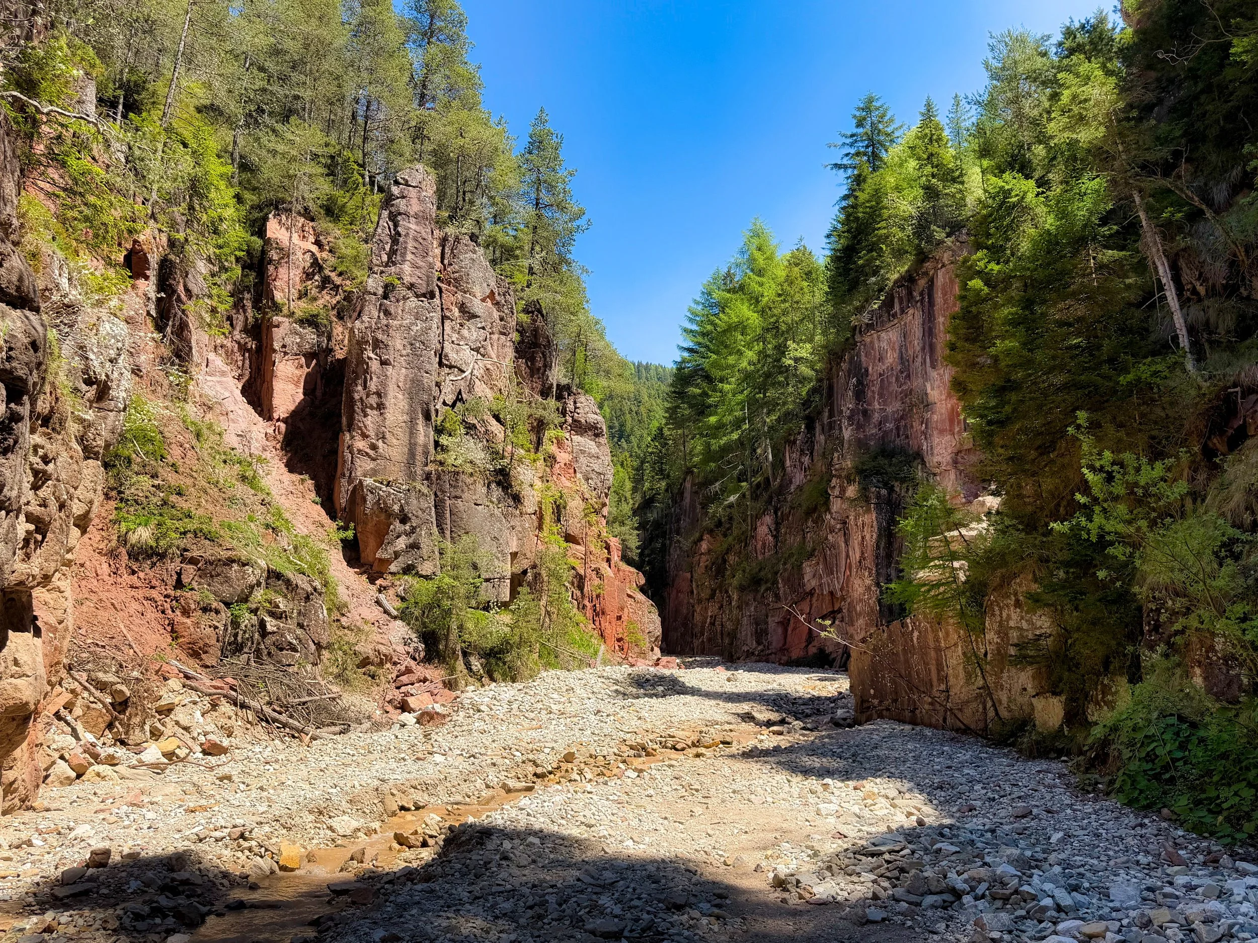
The Castle Wall
This was reminiscent of our climb of Unicorn Peak; end of season with imminent road closure and absolutely superb weather. I am always grateful when Peter can take a day to get in a climb with me, as I am 40 years his senior and inexperienced in trad climbing (this was my second). This was my 84th peak on the Rainier 100 Peaks list, and it would be impossible for me to finish it without a competent partner like Peter to tackle the technical peaks.