Silver Forest/Tipsoo Lake/Silver Falls/Crystal Lake
SILVER FOREST TRAIL This was the finisher hike. I drove to 4 different locations to hike the last trails on my list to cover the entire park. I started before sunrise at Sunrise to tread the Silver Forest trail, a short (.8 miles) trail section that just sort of peters out. Speculation from someone who has been here his entire life has the trail previously going all the way to Sunrise Point. Nonetheless, it provided excellent views to the mountain where I set up my tripod and recorded a time lapse of the pinkness working its way down from the summit. Winter is quickly upon us, with my feet crunching on previous snow and temps below freezing at 6400 feet. But this day dawned crystal clear, and with the impending road closure in just a few days, it was the time to tick this one off.
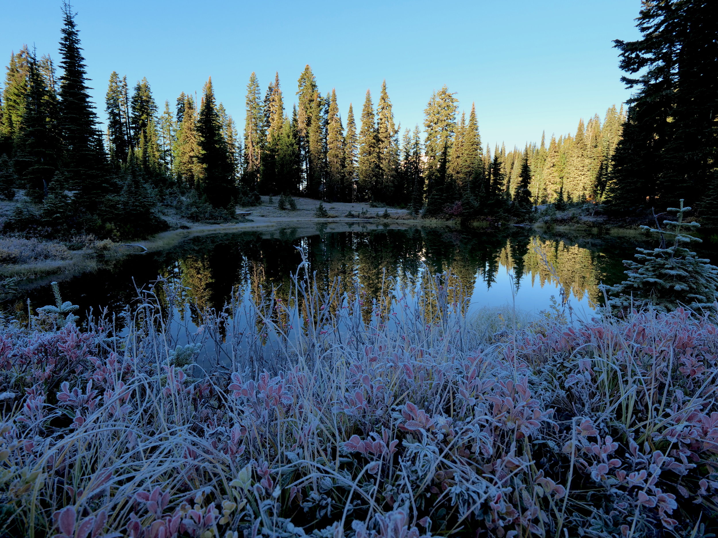
A frosty Tipsoo Lake in early morning, Chinook Pass
TIPSOO LAKE TRAILS After driving to Chinook Pass, I wandered around the trails inside the park boundary that encompass Tipsoo Lake, including the short section of the Naches Loop trail. I had been here in the early 80’s when the lake was snow covered in July, and enjoyed the frosty surroundings and continuing sunrise above the nearby peaks. The lack of summer crowds made it especially enjoyable.
Silver Falls
SILVER FALLS LOOP TRAIL From Chinook Pass I drove to Ohanapecosh campground (now closed), parking at the maintenance area and walking through the camp to the start of the Silver Falls Loop trail at the visitor center. By now the temps were warming and this loop travels through wonderful old growth, accented by the yellow and gold understory. Once hitting the falls, the loop continues on the other side of the river in quiet, mossy and fragrant forest accented by golden rays of light spotlighting the greens and yellows. The loop is just short of 3 miles and provided one of the most peaceful and pleasant forest strolls I have had this year. Simply wonderful.
Upper Crystal Lake from the PCT connector trail
CRYSTAL LAKES CONNECTOR TO PCT I had visited Crystal Peak and Lakes in June during inclement weather; upper Crystal Lake was somewhat snow covered and frozen. When I was perusing one of my maps a few weeks ago, I noticed a 1 mile connector trail from the upper lake to Sourdough Gap and the PCT (park boundary). On my drive back I stopped for this final trail section, now warm enough to be in one layer. This is a very pleasant trail with good grade and involves a 3000 foot climb. There were a couple of hummocks overlooking Upper Crystal Lake that made for perfect lounging in afternoon sunshine. A beautiful day to cap off the project indeed!
Todays stats: 17 miles/3400’ elevation
TOTAL STATS FOR THE ALL TRAILS PROJECT: 539 miles/111,000’ elevation
Silver Forest trail early morning
Beautiful fall skies near the park border with the PCT


