Mt. Rainier: The 7Up Hikes/Goat Is.-Banshee Loop
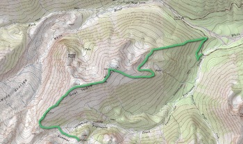 Goat Island Mtn portionThis is a big hike with big views. I recruited my buddy CB for this one as the extensive off trail and planned exit warranted a partner for safety. As it turns out the gnarly exit was bypassed, more on that. This trip provides 17 miles and 5600 feet of elevation gain and loss.
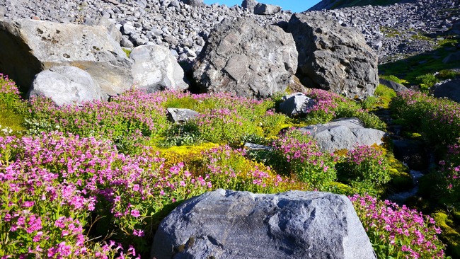
We parked at the Fryingpan creek trail head and spent a very short time on trail, taking a right on the Wonderland for less than half a mile and proceeding off trail at the obvious bend. This lower part of the ridge for Goat Island is of course treed but manageable enough and eventually the terrain opened up into some meadows. We ended up climbing the west ridge a bit high and were forced to retreat lower to work around to the main east ridge, whose southeast slope is a large meadow offering a clear view to the main ridge line. We spied an elk as it entered the forest lower down. Once attaining the ridge, 180 degree views pummeled us with all the cascade volcanoes from Baker to Hood visible along with numerous sub peaks. The ridge walk is long over the main peak (7288') with pockets of flowers everywhere and easy travel until the latter part of the ridge. We made the mistake of being lured off the ridge by open flowered meadows but were cliffed out twice trying to descend to Fryingpan Creek. It seems the best avenue of escape is to follow the ridge to its terminus and descend via a gully to the moraine. Some thick schwacking was occasionally involved but these sections were short. Much help was provided by goat/elk trails. Once in the basin it's a longish walk over the bouldery terrain but the creek crossings were easy with feet dry boulder hopping. We entered the meadows a few hundred feet elevation below Summerland and the short walk there found us on trail for the first time in hours.
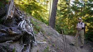 start of off trail to Goat Island Mtn
 large meadow below GIM ridge
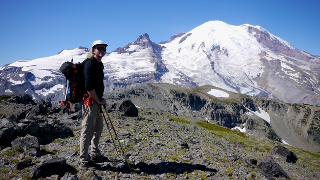 Goat Island Mtn Summit (7288')
 Summerland to Banshee sectionIt seems the huge day hiker crowds are reserved for weekends (at Summerland) and we only ran into a couple of hikers. We also had an interesting talk with a shotgun toting ranger....seems a bear has become a problem having tasted human vittles and has become very aggressive in appropriating Mountain House. The campers the evening before huddled all night in two large groups, apparently even ten people screaming 10 feet away did not dissuade this hungry bruin. The ranger was looking to pelt it with bean bags and establish dominance but to no avail, the bear was a no show. This one may have to be relocated. Now here's where my planned exit changed as CB was done and was headed back to the vehicle. He had no problems waiting for me, however, so I reloaded the go juice and headed toward Panhandle Gap. From there it's a long benign meadow walk to my destination, Banshee Peak at 7400 feet. However, looking over the edge toward Goat Island Mountain made my knees weak, the exposure is intimidating. Our original plan was to negotiate Middle Cowlitz Chimney and descend to the Owyhigh Lakes trail, bringing us back to the vehicle ending with a short road walk of one half mile. This terrain did not invite solo travel, however, and toting my unused helmet and ice axe I started back for Panhandle Gap. On the way I back I passed the resident goat herd often seen in this area. The rest of the hike to Summerland had the sun smacking me in the face reminding me of the hottish day I had endured. I stopped occasionally for photos but for the most part I took advantage of good trail to scurry back the the ever patient CB. We topped the day off with some chow at the Naches Tavern. This was the second hike in my planned series of Rainer "7Up" hikes. Each hike takes advantage of loops if possible with points or peaks above 7000 feet. The next planned hike ups the ante a bit with more elevation and longer distance in an effort to build on each one. One thing is for sure so far, traveling above 7000 feet around Mt. Rainier offers grand vistas, sometimes in all directions, and gives one a different feel and experience outside of the Wonderland Trail.
 Banshee Peak peeks out in the distance (middle)
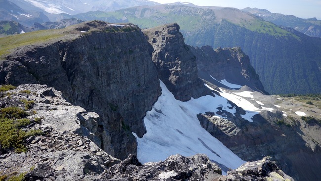 Sarvant Glaciers with Goat Is. Mtn behind
 Cowlitz chimneys from Banshee Peak (7400')
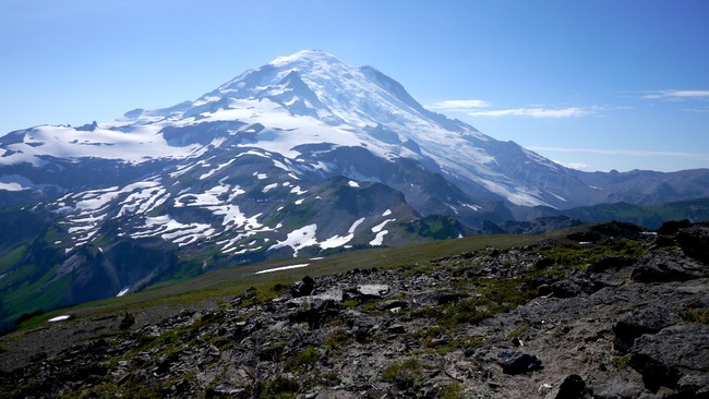 looking back towards Panhandle Gap

