MRNP: Huckleberry/Grand Park Loop
Like the East Eastern Loop, the Northern Loop Trail, and the Eastern Loop, this journey is another example of shorter trips in Mt. Rainier National Park that can be a day hike or a multiday, with plenty of places to camp along the way. In my case I made this a one day trip starting at Sunrise.
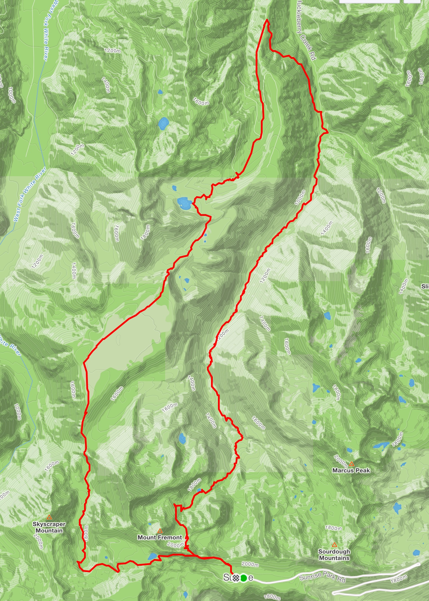
Huckleberry/Grand Park Loop (26 miles/5500')
Proceeding CW, I hiked the short section westward on the Sourdough Ridge trail until the intersection with the Huckleberry Creek trail. From this high point at 6800 feet the trail drops steadily, eventually exiting the park boundary and terminating at FS Road 73. The Huckleberry Creek trail is another classic in this area, starting above treeline passing Huckleberry Basin, then dropping into old growth forest with bubbling creeks and the picturesque Forest Lake, all the while serenaded by the more substantial Huckleberry Creek. The trail is well maintained, soft and mostly rock and root free. Transiting this forest is surely a reminder that untouched forest is a national treasure, giving the hiker an opportunity to soak in the forest smells and refill water bottles from pristine sources.
Huckleberry/Grand Park elev profile
However, to connect this trail to the Lake Eleanor trail, one must walk a few miles on FS 73. When I did this hike on August 23, the weather turned misty but not rainy, making the steady climb up the road pleasant in its own right. After a few miles you come to the parking area for the Lake Eleanor trail, which reenters the National Park almost immediately. Once past Lake Eleanor the climb continues until eventually entering the anomalous flat land, Grand Park. This mesa is the only flattish expanse in the park, where more erodible material around this lava till isolated this unique formation. Although I transited Grand Park between "color" seasons (missing the bloom of spring flowers or the reds and yellows of fall), Grand Park lives up to its name at any time in any weather. It's truly an experience to walk the length of Grand Park on the well established trail, watching Mt. Rainier grow larger in the field of view. You may think that the show is over as you enter the forest again but more wonders await upon entering lower Berkeley Park. Lodi Creek that flows through here is the icing on the cake. Waterfalls, grasses and flowers abound well into late season, nourished by this continuing flow. Water Ouzels can be seen on occasion dipping for food in the pools along the way. In all my travels in this park over 35 years, the creek through Berkeley ranks as one of the most pristine, epitomizing the alpine meadow environment.
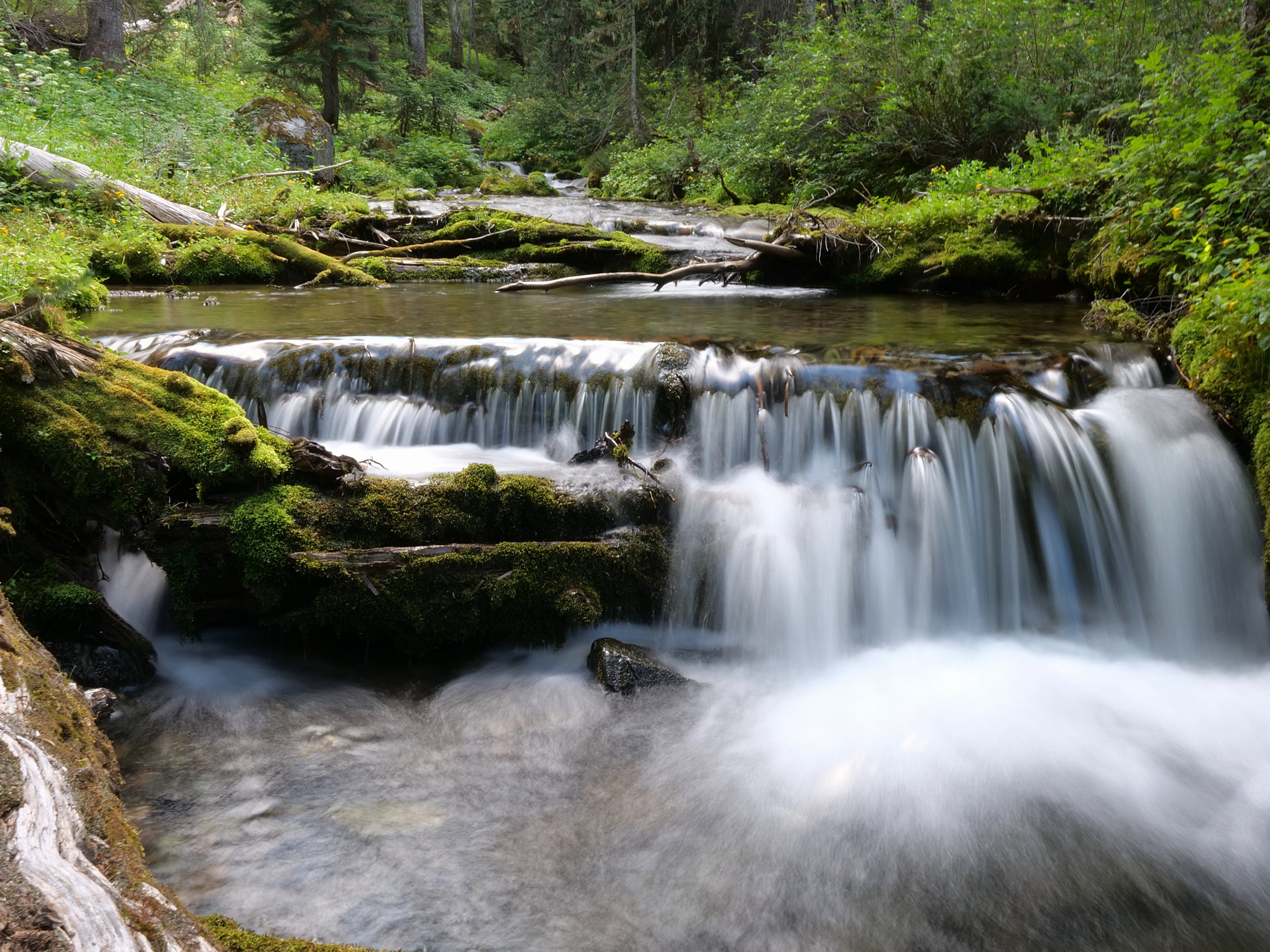
A waterfall on Lodi Creek, approaching Berkeley Park
On this late August day I quickly climbed out of the meadows into another ecozone, surrounded by towering walls with gradually disappearing meadows. The occasional marmot whistle echoed as I climbed to the intersection with the Wonderland Trail, now only a bit over 2 miles to go to return to Sunrise and completing the loop. The late afternoon sun at my back cast a long shadow on the trail ahead, while the winds picked up to the point of donning another layer.
Formations climbing out of Berkeley Park
This 26 mile loop entails 5500 feet of climb and descent, transiting some of the coolest areas of the park through varying ecozones, from below 3000 feet to 6800 feet in elevation. Even the walk on FS 73 was pleasant in its own right, regaining a fair amount of elevation yet easy on the legs. In short, just another North West classic hike in one of our treasures so close to civilization.
Lodi Creek nourishes a constant bloom even late season
Pano of the expanse of Grand Park
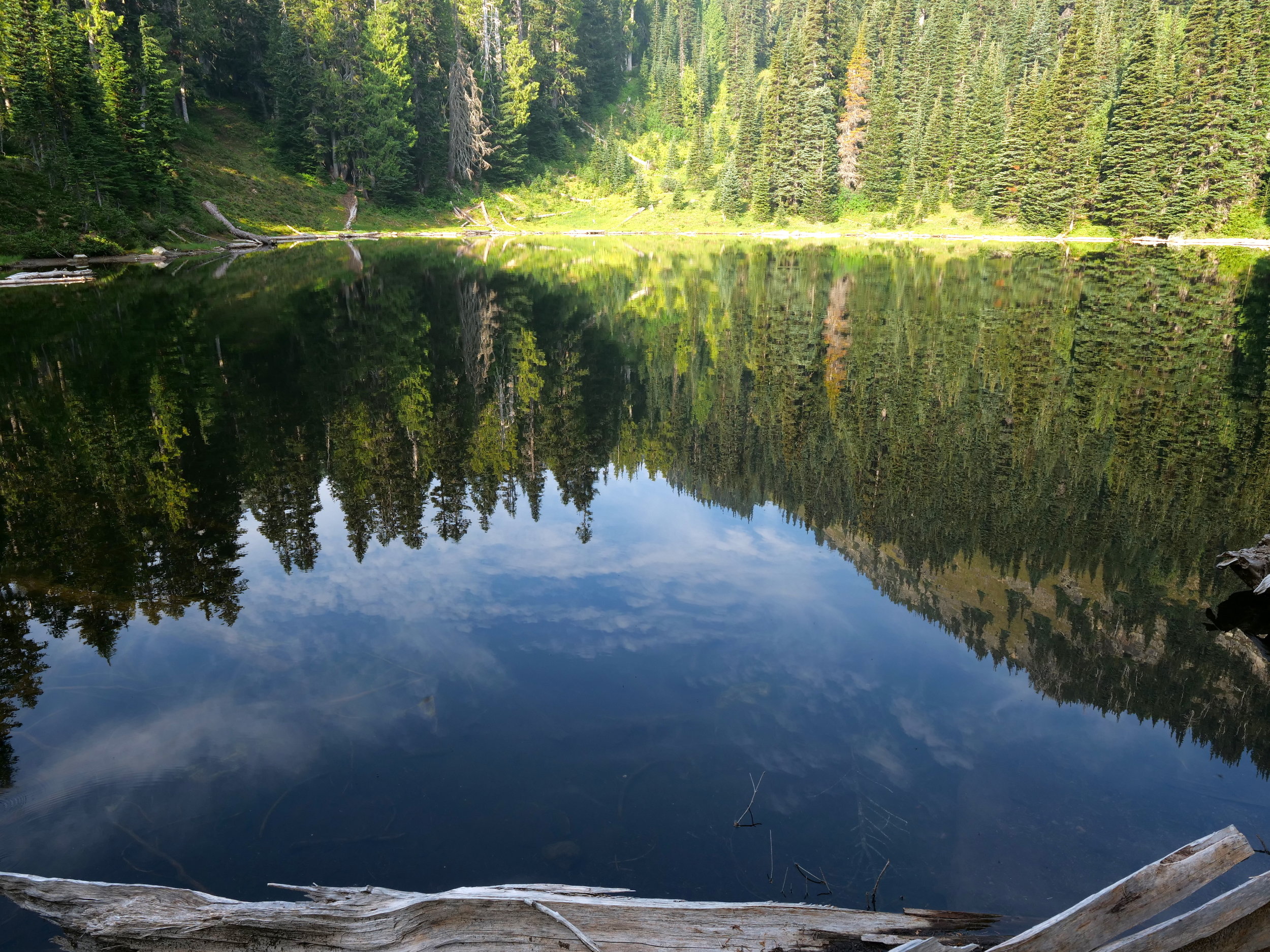
Skies reflected in Forest Lake (Huckleberry/Grand Park loop)


