Wonderland Trail #35 - 8/21-23/2023
I wanted to do something different for my 35th transit of the Wonderland. Well, I got my wish. After a year of productive cycle training and some warmup hikes, I was ready to attempt a 48 hour transit. It was a stretch for sure, but one never knows until trying. After delaying a week due to hot temperatures, I departed for Mt. Rainier on a Sunday afternoon and secured a walk up permit at Longmire. It had one camp on it; Cataract Valley. I was aiming for one rest period during this endurance attempt.
Generally the west side of the mountain is the toughest, packing a lot of elevation gain and loss into those miles vice the east side. With my Longmire start, I wanted to get the hard part done with fresh legs and set off on a clockwise trip. Usually I do these trips with a pristine weather forecast in hand, but with other matters pressing I went with “good enough”. No rain was forecast on Monday (August 21) for my start. However, smoke was present but was supposed to diminish by Tuesday afternoon. Temperatures were moderate. I set off from Longmire at 4:20 AM, hoping to return by 4:20 AM on Wednesday for that 48 hour window.
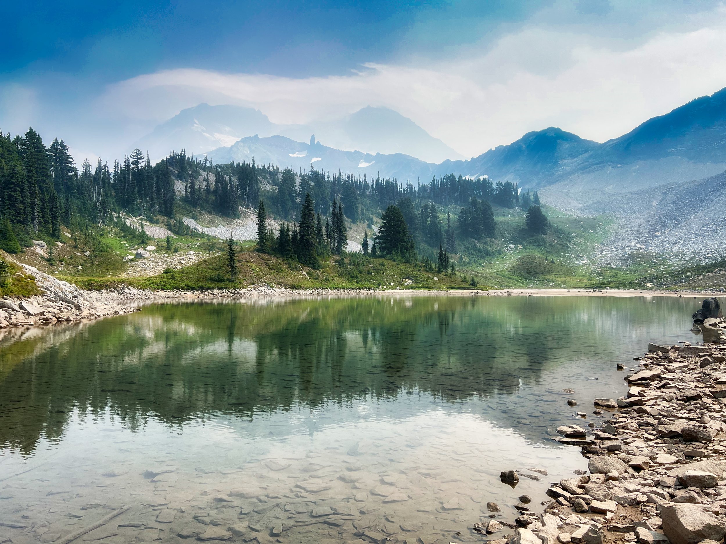
St. Andews Lake, Wonderland Trail
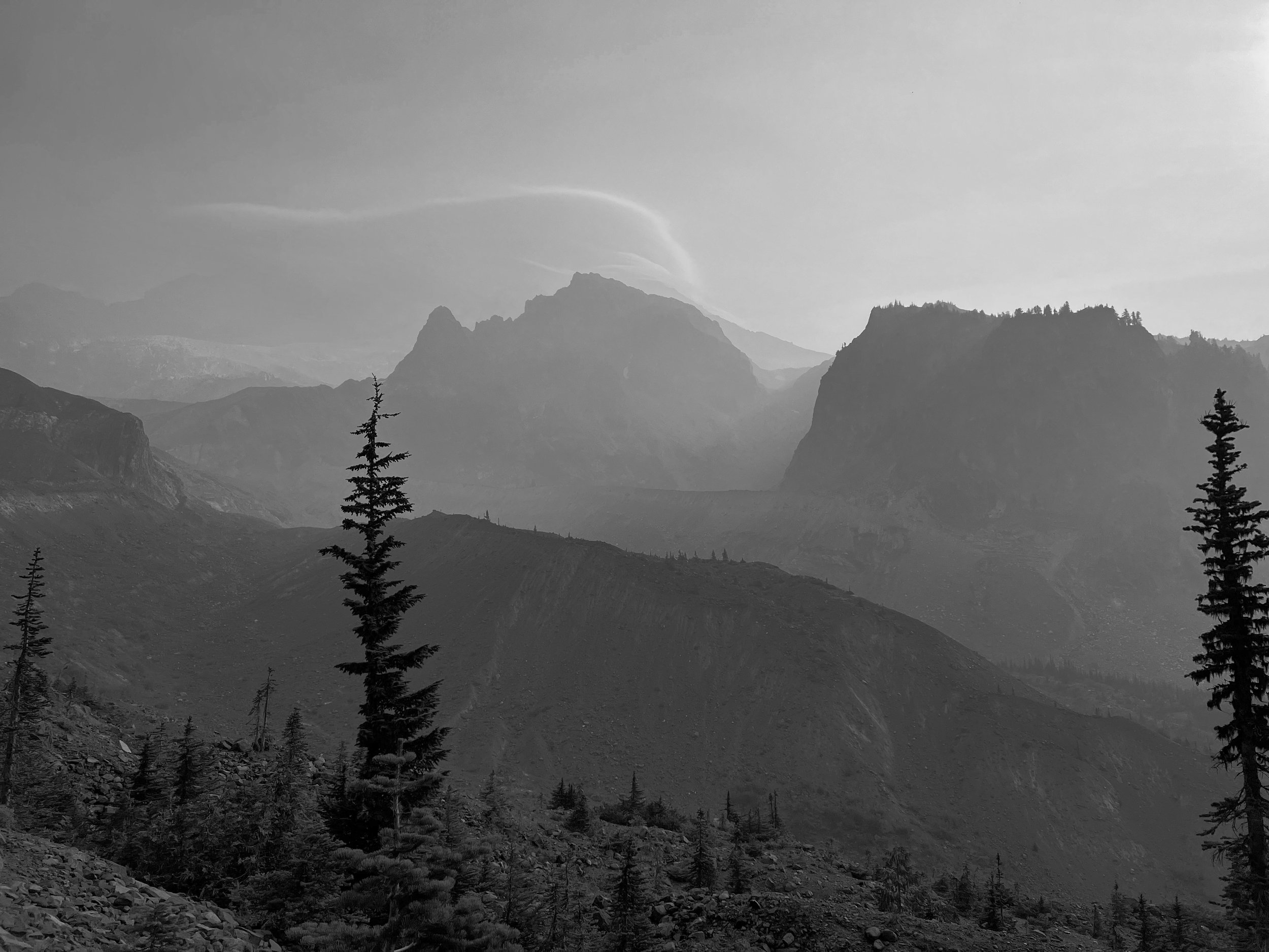
I felt in the pocket all day, breezing up the climbs and trotting the downhills. There’s a lot of that on this trail. I could gauge my progress based on many past hikes, and was very pleased with the pace. I’m usually transiting Silver Forest (right before Golden Lakes) in the dark, but on this day I passed through at 4 PM, hours ahead of any other hike. Sure the skies were ghostly with the smoke, and views of the mountain were suggested, hiding in the veil. But cool temperatures and otherwise pleasant conditions were enjoyable and conducive to fast ambulation. It looked like I was going to be able to transit the Mowich Rivers before dark, another first. The ranger who issued my permit reported that the South Mowich River main channel merged with the North Mowich further upstream, in essence cutting out half the crossing problems. When I arrived with plenty of light left, there were a few slighter branches of the river in the south channel, but otherwise the huge flood plain was begging for water. I passed old bridges mired in sand and rock on the way until gaining the wooded area that is home to the South Mowich River Camp. From there the path proceeded back into the flood plain for quite some distance until finally crossing the merged rivers. This whole area seemed kind of convoluted and I’m sure next season will have the trail crews out there making new rock lined paths, but for this year it worked well. I have transited these rivers in the dark, and being able to see more than 50 feet was a pleasant change.
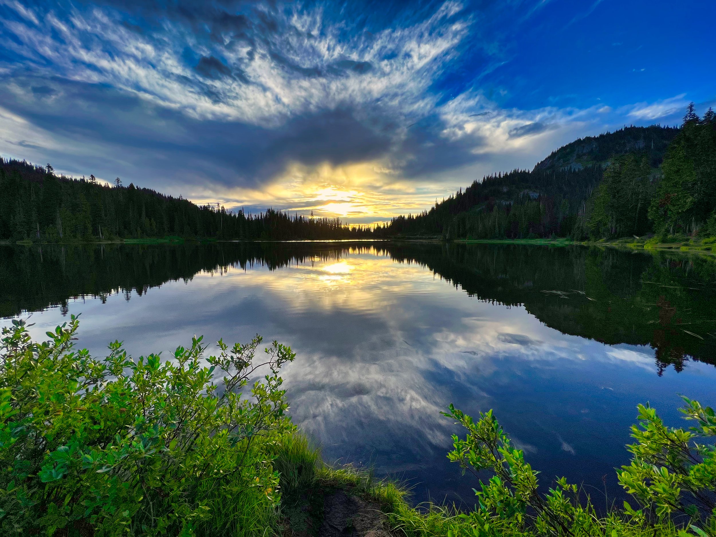
Starry night in Spray Park
I started the climb to Mowich Lake with light still with me and arrived there at 9:30 PM. This would be a stopping point for a normal 3 day hike, but I launched off into the night, taking the Spray Park Trail (last year I did the Ipsut Pass route), what I call the High Route. There was no moon but I occasionally turned off my headlamp and enjoyed clear starry skies, thinking that the forecast was spot on and that the next day would be nice….with the next day only a few hours away. This alternate route over Spray Park is not easy going or conducive to fast trotting, what with big steps along the way and a somewhat difficult path through Seattle Park above treeline, especially in the dark. However, physically I was still hanging in there with plenty of gas in the tank and steely feeling legs. I arrived at Cataract Valley Camp at 1:30 AM and occupied site #1. I hung the food bag and laid out my sleep system, which I had “upgraded” last minute to an OR Helium bivy and a Nunatak 40 degree quilt, along with a NeoAir XLite NXT short pad. I just rolled the whole shebang into a bundle so I could lay it out for immediate deployment without dealing with individual stuff sacks. I’m a side sleeper so the short pad, at 66 inches, was perfect for a bent knee position. Unfortunately, I had a hard time falling asleep, and I only got perhaps 2 hours of rest out of my 4 hours reclining. I was up and exiting the camp by 6:30 AM.
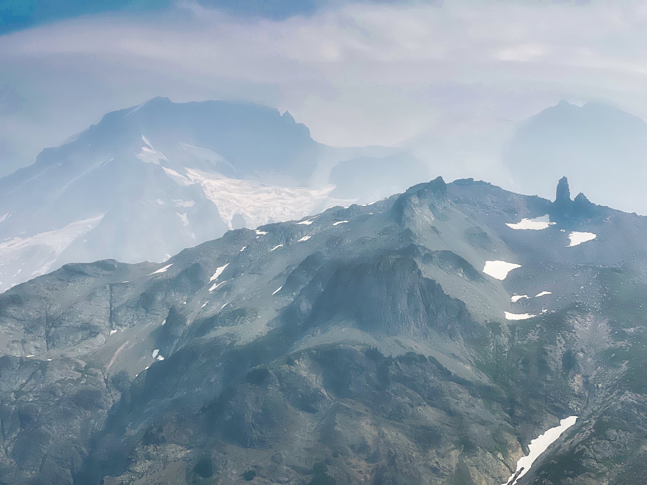
Tokaloo Rock and Spire, Wonderland Trail
Day 1 had me 47 miles into the hike with 12,500 feet of elevation gain. Day 2 would be longer with essentially the same elevation gain, mitigated somewhat by the last 30 miles abating a bit. As the skies got lighter I could see that there was no clearing; the cloud deck was low and mist was in the air. At least the smoke had cleared out. I was anticipating 4 major climbs to finish off the trip, and I arrived at the top of the first one (Mystic Pass at 6000’) feeling OK. I didn’t have the prior day’s spring and spunk but my legs were still in the fight and I was able to trot the downhills without quivering thighs. I breezed through Mystic Lake, around the Winthrop Glacier and saw an elusive Marten on my climb to Skyscraper Pass, the second climb of the day. In the forefront of my mind were the time milestones, and I was thinking I was maybe 2 hours behind where I should have been. I took a long break at White River Campground, the other spot that I use for a typical 3 day, and launched into the unknown. On the trail to Summerland I laid down and took a 30 minute nap, feeling much better for the short rest as I aimed for the highest point on the trail, Panhandle Gap at 6800 feet. But what’s that I’m seeing in my headlight as I’m hiking?….looks like big dust particles…or light rain. I am always assessing conditions, not just external but how my body is holding up. As the rain increased in intensity there was more assessing. As the winds picked up above Summerland and sideways mist was hitting my face there was more assessing. A decision had to be made, do I commit to Panhandle Gap and the exposed Ohanapecosh Park transit? Now, I was not going “stupid light”, I had minimal but effective kit (total carried weight including food and water was about 12 pounds), and I was confident in my choices. Bottom line though, I deemed it prudent not to continue at that point, and knew my best place to shelter was below Panhandle Gap by the green tarn. Abandoning my 48 hour quest, I laid out the bivy on a durable, sandy area near the tarn. By the time I was tucked inside the rain and wind had intensified. Problem was, I had to keep the bivy closed because of the wind driven rain, but the condensation buildup inside became its own problem. I had all my clothes on and was able to maintain minimal heat throughout the night, but I was certainly not comfortable. Shifting side to side, occasionally opening up the bivy for ventilation, adjusting the quilt as best I could for drafts, I spent the night snoozing and awaiting morning. Stats for this second day: 29 miles/8300’ elevation gain
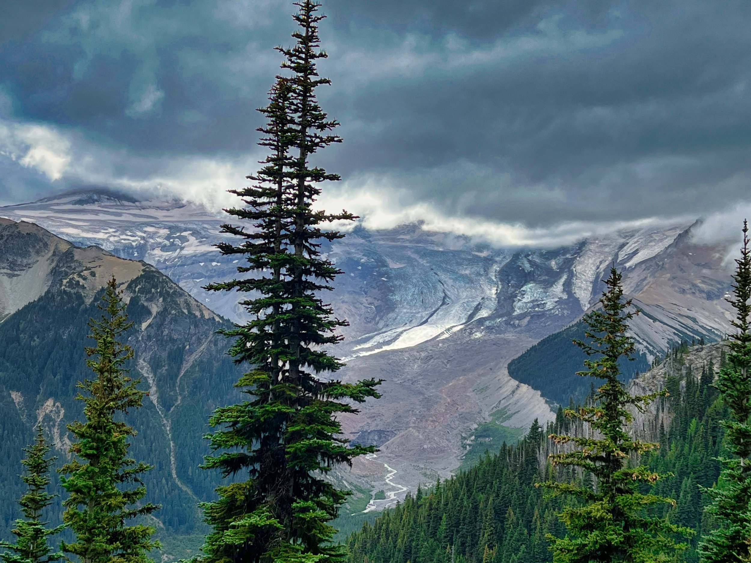
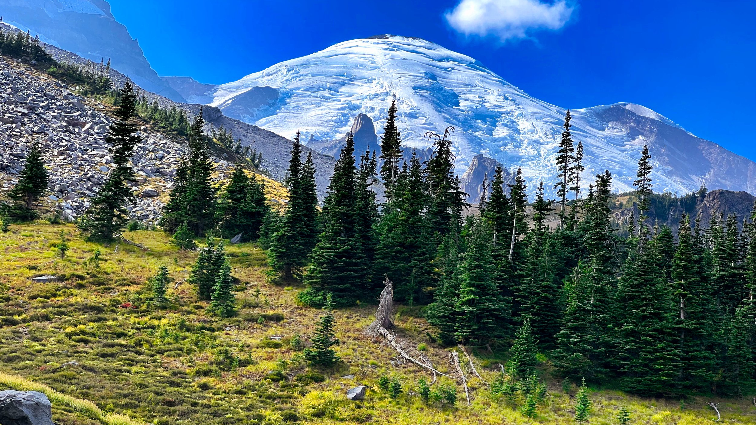
Emmons Glacier, descending to White River
At some point the rain stopped and I was able to expose my face to breathe outside the bivy. I was up and on the trail at 5:30 AM, wearing all my clothing. First order of business was to raise my body temperature. A shoutout to Timmermade; I didn’t have a puffy but did have the Alpha Direct hoody, and paired with a prototype silpoly Megazip shell, I was able to hike quickly but dump heat and moisture by managing the huge zips in the shell. By the time I hit the Gap I was toasty enough to remove my hat, eventually stowing the hoody and shell in exchange for an Enlightened Equipment wind shirt. This whole transit through Ohanapecosh Park was devoid of any views as the skies were still completely socked in. I still hadn’t seen the mountain proper on this trip. Visibility under the clouds was good, however, and I was able to peer down on Indian Bar from the ridge, my next destination. I was happy to see that the weather was apparently not going to get worse.
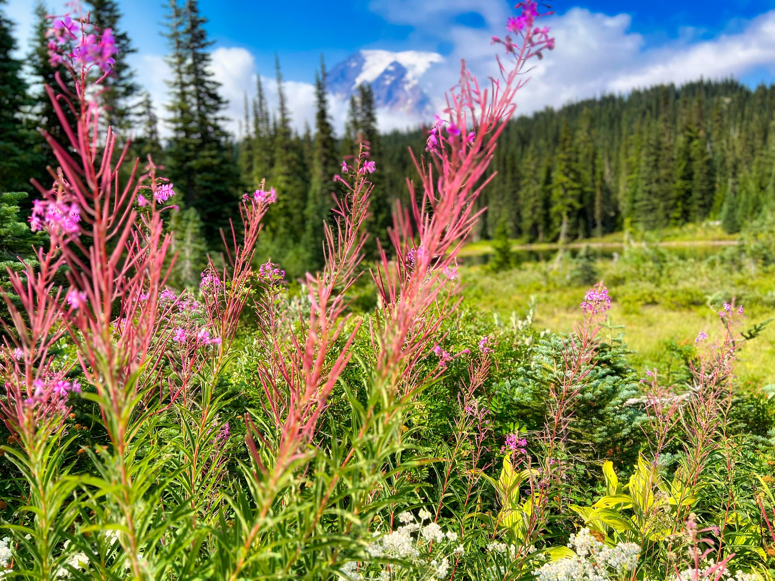
The final hours of my 3 day trek finally saw clear skies: Reflection Lake, Mt. Rainier
By the time I descended to Nickel Creek the skies were starting to clear, making me wish I had started the trip a few days later. But hey, deal and cope, and enjoy being outside. Fatigue was slowly creeping into the legs, but I was not anywhere near pegging the needle on the sufferfest dial. Reflection Lakes was the end of my last climb, and the skies were mostly clear with my first clear view of the mountain. From there it was a cruise back to Longmire, arriving just before 6 PM; time to take a hot shower and enjoy some bison meatloaf at the Inn. At this point I’ve probably done around 25 three day Wonderlands, and I’ve never arrived in daylight on the last day. Then again, my last day has never been this short: 27 miles/4600’ elevation gain. That would make this hike my fastest three day hike I’ve ever done, more than 30 years after my first. I’ll take it, I aint gettin’ any younger…and there’s always next time.
Video: this time I authored in 4K, and the run time is lengthy: 51 minutes. But I wanted to convey the essence of my celebratory 35th hike of the Wonderland and hope that viewers enjoy my journey, sprinkled with a few historical snippets. For best viewing make sure you have 4K selected. Cheers and happy hiking!
